 vesseltracker.com
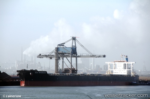
 PATRIOTSHIP
Current Status
Where is the vessel?
PATRIOTSHIP is currently in Near ZAANDAM, based on AIS data received about 2h ago.
Latest AIS update:
Current position: 52.41340° N, 4.81695° E (Near ZAANDAM)
Average speed (last 7 days): Loading…
Average speed (last 30 days): Loading…
Vessel profile: PATRIOTSHIP is a Bulk Carrier with dimensions 45m x 289m.
This page combines live AIS, route history, probable destination signals, nearby traffic, and port activity for practical vessel monitoring.
The current position of vessel PATRIOTSHIP is 52.41340 lat / 4.81695 lng. Updated: 2026-03-29 01:21:30 UTCNearest reference points:
- Near ZAANDAM
- Near NAUERNA
- Near Zaanstad
Currently sailing under the flag of Marshall Islands ![]()
PATRIOTSHIP built in 2010 year
Deadweight:
181709 tDetails:
Live Vessel PATRIOTSHIP Analytics (details, animations, etc.)
Recent AIS points (UTC):
2026-03-28 19:33:20 UTC · 52.41350, 4.81705 · SOG 0.1 kn · COG 162°2026-03-28 21:36:07 UTC · 52.41345, 4.81701 · SOG 0 kn · COG 163°
2026-03-29 00:15:25 UTC · 52.41349, 4.81702 · SOG 0.1 kn · COG 162°
2026-03-29 01:21:30 UTC · 52.41340, 4.81695 · SOG 0.3 kn · COG 162°