 vesseltracker.com
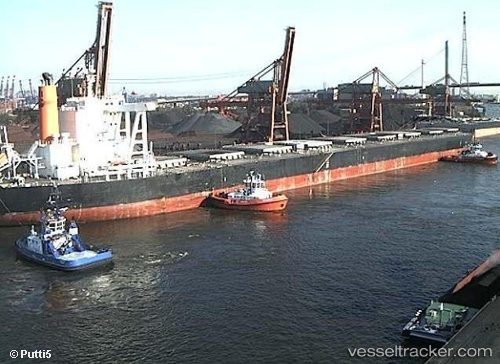
 OCEAN CREST
Current Status
Where is the vessel?
OCEAN CREST is currently in 59 nm E of Slipi, based on AIS data received about 1h ago.
Latest AIS update:
Current position: 6.21798° N, 107.77316° E (59 nm E of Slipi)
Average speed (last 7 days): Loading…
Average speed (last 30 days): Loading…
Vessel profile: OCEAN CREST is a Bulk Carrier with dimensions m x m.
This page combines live AIS, route history, probable destination signals, nearby traffic, and port activity for practical vessel monitoring.
The current position of vessel OCEAN CREST is 6.21798 lat / 107.77316 lng. Updated: 2026-03-30 16:52:22 UTCNearest reference points:
- 11 nm N of Gombong
- 36 nm SW of Slipi
- 41 nm NW of Brebes
Currently sailing under the flag of Liberia ![]()
Details:
Live Vessel OCEAN CREST Analytics (details, animations, etc.)
Recent AIS points (UTC):
2026-03-30 12:11:37 UTC · 5.61955, 107.22271 · SOG 10.4 kn · COG -1°2026-03-30 13:21:49 UTC · 5.77638, 107.35240 · SOG 10.5 kn · COG -1°
2026-03-30 15:32:09 UTC · 6.05132, 107.61301 · SOG 10.5 kn · COG -1°
2026-03-30 16:52:22 UTC · 6.21798, 107.77316 · SOG 10.4 kn · COG -1°