 vesseltracker.com
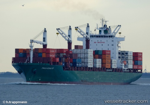
 PIONEER IV
Current Status
Where is the vessel?
PIONEER IV is currently in 44 nm NW of Casablanca, based on AIS data received less than 1h ago.
Latest AIS update:
Current position: 34.05289° N, 8.30809° W (44 nm NW of Casablanca)
Average speed (last 7 days): Loading…
Average speed (last 30 days): Loading…
Vessel profile: PIONEER IV is a Container Ship with dimensions m x m.
This page combines live AIS, route history, probable destination signals, nearby traffic, and port activity for practical vessel monitoring.
The current position of vessel PIONEER IV is 34.05289 lat / -8.30809 lng. Updated: 2026-04-01 18:22:53 UTCNearest reference points:
- 54 nm N of El Jadida
- 44 nm NW of El Jadida
- 21 nm NW of El Jadida
Currently sailing under the flag of Marshall Islands ![]()
Details:
Live Vessel PIONEER IV Analytics (details, animations, etc.)
Recent AIS points (UTC):
2026-04-01 11:24:16 UTC · 35.36017, -6.91691 · SOG 16.2 kn · COG 220°2026-04-01 13:30:22 UTC · 34.96237, -7.36404 · SOG 14.9 kn · COG 218°
2026-04-01 15:42:04 UTC · 34.54783, -7.78172 · SOG 14.7 kn · COG 220°
2026-04-01 18:22:53 UTC · 34.05289, -8.30809 · SOG 14.6 kn · COG 223°