 vesseltracker.com
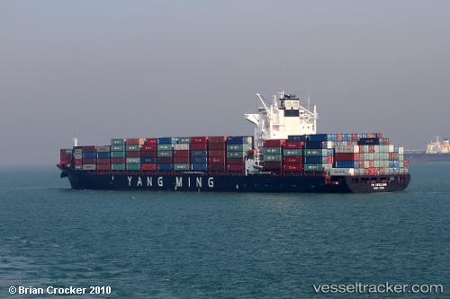
 SYNERGY KEELUNG
Current Status
Where is the vessel?
SYNERGY KEELUNG is currently in 68 nm NW of Hongdo, based on AIS data received about 1h ago.
Latest AIS update:
Current position: 35.57340° N, 124.39005° E (68 nm NW of Hongdo)
Average speed (last 7 days): Loading…
Average speed (last 30 days): Loading…
Vessel profile: SYNERGY KEELUNG is a Container Ship with dimensions 260m x 32m.
This page combines live AIS, route history, probable destination signals, nearby traffic, and port activity for practical vessel monitoring.
The current position of vessel SYNERGY KEELUNG is 35.57340 lat / 124.39005 lng. Updated: 2026-03-27 05:49:24 UTCNearest reference points:
- 93 nm SE of SHIDAO
- 81 nm SE of SHIDAO
- 78 nm SE of Shidao Pt
Currently sailing under the flag of Cyprus ![]()
SYNERGY KEELUNG built in 2009 year
Deadweight:
50500 tDetails:
Live Vessel SYNERGY KEELUNG Analytics (details, animations, etc.)
Recent AIS points (UTC):
2026-03-27 00:19:24 UTC · 34.88749, 124.80775 · SOG 9.1 kn · COG 329°2026-03-27 02:36:56 UTC · 35.18914, 124.62311 · SOG 8.5 kn · COG 331°
2026-03-27 03:52:14 UTC · 35.34456, 124.52728 · SOG 8 kn · COG 331°
2026-03-27 05:49:24 UTC · 35.57340, 124.39005 · SOG 7.6 kn · COG 331°