 vesseltracker.com
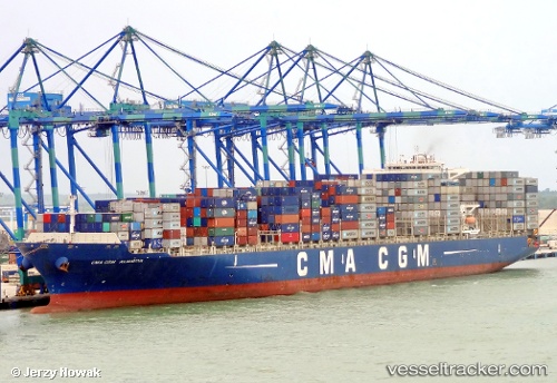
 CMA CGM ALMAVIVA
Current Status
Where is the vessel?
CMA CGM ALMAVIVA is currently in 64 nm W of Terempa, based on AIS data received about 1h ago.
Latest AIS update:
Current position: 2.82167° N, 105.21833° E (64 nm W of Terempa)
Average speed (last 7 days): Loading…
Average speed (last 30 days): Loading…
Vessel profile: CMA CGM ALMAVIVA is a Container Ship with dimensions m x m.
This page combines live AIS, route history, probable destination signals, nearby traffic, and port activity for practical vessel monitoring.
The current position of vessel CMA CGM ALMAVIVA is 2.82167 lat / 105.21833 lng. Updated: 2026-04-19 19:40:43 UTCNearest reference points:
- 80 nm SW of Terempa
- 64 nm NE of PENGERANG
- 39 nm SE of Belida Terminal
Currently sailing under the flag of Malta ![]()
Details:
Live Vessel CMA CGM ALMAVIVA Analytics (details, animations, etc.)
Recent AIS points (UTC):
2026-04-19 16:01:11 UTC · 1.96667, 104.88333 · SOG 15 kn · COG -1°2026-04-19 16:10:34 UTC · 2.00234, 104.89958 · SOG 15 kn · COG -1°
2026-04-19 18:04:30 UTC · 2.43833, 105.08667 · SOG 15 kn · COG -1°
2026-04-19 19:40:43 UTC · 2.82167, 105.21833 · SOG 15 kn · COG -1°