 vesseltracker.com
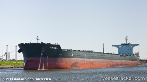
 Aquacarrier
Current Status
Where is the vessel?
Aquacarrier is currently in Near Pointe Noire, based on AIS data received less than 1h ago.
Latest AIS update:
Current position: 50.18985° N, 66.47143° W (Near Pointe Noire)
Average speed (last 7 days): Loading…
Average speed (last 30 days): Loading…
Vessel profile: Aquacarrier is a Bulk Carrier with dimensions 292m x 45m.
This page combines live AIS, route history, probable destination signals, nearby traffic, and port activity for practical vessel monitoring.
The current position of vessel Aquacarrier is 50.18985 lat / -66.47143 lng. Updated: 2026-03-31 23:26:35 UTCNearest reference points:
- 22 nm N of Sainte-Anne-des-Monts
- 15 nm NW of Saint-Anaclet
Currently sailing under the flag of Liberia ![]()
Aquacarrier built in 2011 year
Deadweight:
175935 tDetails:
Live Vessel Aquacarrier Analytics (details, animations, etc.)
Recent AIS points (UTC):
2026-03-31 18:14:30 UTC · 50.18550, -66.47033 · SOG 0.2 kn · COG -1°2026-03-31 20:08:35 UTC · 50.19002, -66.47167 · SOG 0 kn · COG 206°
2026-03-31 22:12:19 UTC · 50.18998, -66.47163 · SOG 0.1 kn · COG -1°
2026-03-31 23:26:35 UTC · 50.18985, -66.47143 · SOG 0 kn · COG 213°