 vesseltracker.com
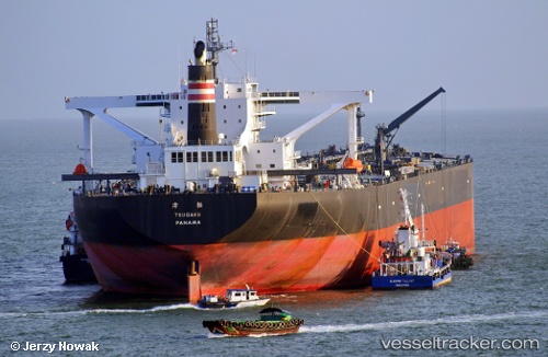
 Tsugaru
Current Status
Where is the vessel?
Tsugaru is currently in 163 nm NE of Belle Mare, based on AIS data received about 2h ago.
Latest AIS update:
Current position: 18.97118° S, 60.34384° E (163 nm NE of Belle Mare)
Average speed (last 7 days): Loading…
Average speed (last 30 days): Loading…
Vessel profile: Tsugaru is a Crude Oil Tanker with dimensions 333m x 333m.
This page combines live AIS, route history, probable destination signals, nearby traffic, and port activity for practical vessel monitoring.
The current position of vessel Tsugaru is -18.97118 lat / 60.34384 lng. Updated: 2026-04-02 08:04:27 UTCNearest reference points:
- 159 nm W of Rodrigues
- 106 nm NW of Port Mathurin
- 219 nm NW of Port Mathurin
Currently sailing under the flag of Japan ![]()
Tsugaru built in 2010 year
Deadweight:
301498 tDetails:
Live Vessel Tsugaru Analytics (details, animations, etc.)
Recent AIS points (UTC):
2026-04-02 02:03:14 UTC · -18.60320, 61.85303 · SOG 14.4 kn · COG 234°2026-04-02 04:15:16 UTC · -18.89785, 61.38994 · SOG 15.5 kn · COG 265°
2026-04-02 05:25:41 UTC · -18.92754, 61.05696 · SOG 16.2 kn · COG 265°
2026-04-02 08:04:27 UTC · -18.97118, 60.34384 · SOG 14.8 kn · COG 298°