 vesseltracker.com
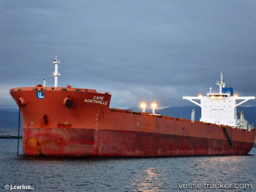
 MARMOLADA
Current Status
Where is the vessel?
MARMOLADA is currently in 53 nm S of Taboneo, based on AIS data received about 1h ago.
Latest AIS update:
Current position: 4.51833° S, 114.10167° E (53 nm S of Taboneo)
Average speed (last 7 days): Loading…
Average speed (last 30 days): Loading…
Vessel profile: MARMOLADA is a Bulk Carrier with dimensions m x m.
This page combines live AIS, route history, probable destination signals, nearby traffic, and port activity for practical vessel monitoring.
The current position of vessel MARMOLADA is -4.51833 lat / 114.10167 lng. Updated: 2026-04-14 22:11:47 UTCNearest reference points:
- Near Taboneo
- Near BANJARMASIN
- 76 nm N of Sumenep
Currently sailing under the flag of Liberia ![]()
Details:
Live Vessel MARMOLADA Analytics (details, animations, etc.)
Recent AIS points (UTC):
2026-04-14 14:35:41 UTC · -4.48500, 115.49500 · SOG 11 kn · COG -1°2026-04-14 18:14:42 UTC · -4.56667, 114.83500 · SOG 11 kn · COG -1°
2026-04-14 19:51:20 UTC · -4.54889, 114.53567 · SOG 11.1 kn · COG 276°
2026-04-14 22:11:47 UTC · -4.51833, 114.10167 · SOG 11 kn · COG -1°