 vesseltracker.com
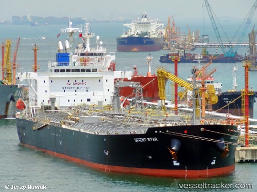
 YUME
YUME
Current Status
Where is the vessel?
YUME is currently in 144 nm SW of Yof, based on AIS data received less than 1h ago.
Latest AIS update:
Current position: 13.69186° N, 19.69052° W (144 nm SW of Yof)
Average speed (last 7 days): Loading…
Average speed (last 30 days): Loading…
Vessel profile: YUME is a Oil Products Tanker with dimensions m x m.
This page combines live AIS, route history, probable destination signals, nearby traffic, and port activity for practical vessel monitoring.
The current position of vessel YUME is 13.69186 lat / -19.69052 lng. Updated: 2026-03-31 09:43:57 UTCNearest reference points:
- Near Dakar
- 48 nm W of Cap Skiring
- Near Rufisque
Currently sailing under the flag of Liberia ![]()
Details:
Live Vessel YUME Analytics (details, animations, etc.)
Recent AIS points (UTC):
2026-03-31 03:22:19 UTC · 15.06935, -19.67269 · SOG 13.4 kn · COG 181°2026-03-31 06:03:38 UTC · 14.47903, -19.68081 · SOG 13.1 kn · COG 175°
2026-03-31 07:29:17 UTC · 14.17126, -19.68449 · SOG 12.8 kn · COG 179°
2026-03-31 09:43:57 UTC · 13.69186, -19.69052 · SOG 12.9 kn · COG 183°