 vesseltracker.com
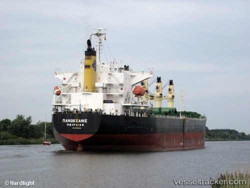
 PANOCEANIS
Current Status
Where is the vessel?
PANOCEANIS is currently in Near PERAMA, based on AIS data received about 1h ago.
Latest AIS update:
Current position: 37.95417° N, 23.55178° E (Near PERAMA)
Average speed (last 7 days): Loading…
Average speed (last 30 days): Loading…
Vessel profile: PANOCEANIS is a Bulk Carrier with dimensions m x m.
This page combines live AIS, route history, probable destination signals, nearby traffic, and port activity for practical vessel monitoring.
The current position of vessel PANOCEANIS is 37.95417 lat / 23.55178 lng. Updated: 2026-04-09 23:48:17 UTCNearest reference points:
- Near PERAMA
- Near Drapetzona
- Near Keratsínion
Currently sailing under the flag of Marshall Islands ![]()
Details:
Live Vessel PANOCEANIS Analytics (details, animations, etc.)
Recent AIS points (UTC):
2026-04-09 17:28:48 UTC · 37.95415, 23.55178 · SOG 0 kn · COG 90°2026-04-09 19:45:38 UTC · 37.95417, 23.55180 · SOG 0 kn · COG 91°
2026-04-09 22:06:49 UTC · 37.95413, 23.55178 · SOG 0 kn · COG 92°
2026-04-09 23:48:17 UTC · 37.95417, 23.55178 · SOG 0 kn · COG 91°