 vesseltracker.com
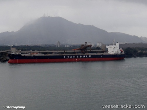
 Wangaratta
Current Status
Where is the vessel?
Wangaratta is currently in 42 nm S of Daikoku Island, based on AIS data received about 1h ago.
Latest AIS update:
Current position: 42.25833° N, 144.86833° E (42 nm S of Daikoku Island)
Average speed (last 7 days): Loading…
Average speed (last 30 days): Loading…
Vessel profile: Wangaratta is a Bulk Carrier with dimensions 229m x 32m.
This page combines live AIS, route history, probable destination signals, nearby traffic, and port activity for practical vessel monitoring.
The current position of vessel Wangaratta is 42.25833 lat / 144.86833 lng. Updated: 2026-03-26 20:12:19 UTCNearest reference points:
- Near Kushiro
- Near NISHI
- 27 nm SE of Tomari
Currently sailing under the flag of Panama ![]()
Wangaratta built in 2011 year
Deadweight:
82206 tDetails:
Live Vessel Wangaratta Analytics (details, animations, etc.)
Recent AIS points (UTC):
2026-03-26 13:30:21 UTC · 42.75667, 146.62666 · SOG 12 kn · COG -1°2026-03-26 16:10:03 UTC · 42.56230, 145.93329 · SOG 12.1 kn · COG 248°
2026-03-26 17:39:21 UTC · 42.44833, 145.54167 · SOG 12 kn · COG -1°
2026-03-26 20:12:19 UTC · 42.25833, 144.86833 · SOG 12 kn · COG -1°