 vesseltracker.com
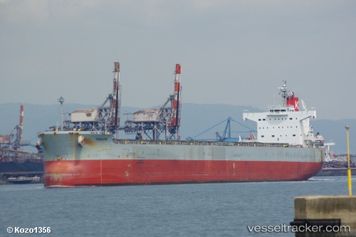
Hakuta
Current StatusWhere is the vessel?
Hakuta is currently in 225 nm NE of Sapiranga, based on AIS data received less than 1h ago.
Latest AIS update:
Current position: 28.02741° S, 21.21305° W (225 nm NE of Sapiranga)
Average speed (last 7 days): Loading…
Average speed (last 30 days): Loading…
Vessel profile: Hakuta is a Bulk Carrier with dimensions 32m x 229m.
This page combines live AIS, route history, probable destination signals, nearby traffic, and port activity for practical vessel monitoring.
The current position of vessel Hakuta is -28.02741 lat / -21.21305 lng. Updated: 2026-04-13 08:01:37 UTCDetails:
Live Vessel Hakuta Analytics (details, animations, etc.)
Recent AIS points (UTC):
2026-04-13 02:30:15 UTC · -28.25589, -19.94381 · SOG 12.5 kn · COG 279°2026-04-13 03:37:34 UTC · -28.21482, -20.20036 · SOG 12.3 kn · COG 278°
2026-04-13 06:02:27 UTC · -28.11190, -20.75330 · SOG 12.4 kn · COG 281°
2026-04-13 08:01:37 UTC · -28.02741, -21.21305 · SOG 12.9 kn · COG 282°