 vesseltracker.com
 Maliakos
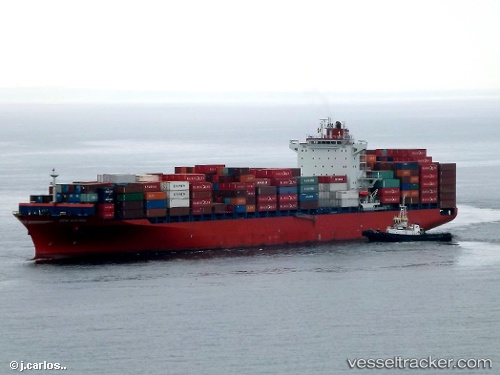
Current Status
Where is the vessel?
Maliakos is currently in 59 nm E of LA PALOMA, based on AIS data received about 1h ago.
Latest AIS update:
Current position: 34.98793° S, 53.02584° W (59 nm E of LA PALOMA)
Average speed (last 7 days): Loading…
Average speed (last 30 days): Loading…
Vessel profile: Maliakos is a Container Ship with dimensions 262m x 32m.
This page combines live AIS, route history, probable destination signals, nearby traffic, and port activity for practical vessel monitoring.
The current position of vessel Maliakos is -34.98793 lat / -53.02584 lng. Updated: 2026-03-27 11:46:45 UTCNearest reference points:
- 55 nm SE of Chui
- 75 nm SE of LA PALOMA
- 105 nm SE of Chui
Currently sailing under the flag of Liberia ![]()
Maliakos built in 2012 year
Deadweight:
51310 tDetails:
Live Vessel Maliakos Analytics (details, animations, etc.)
Recent AIS points (UTC):
2026-03-27 05:34:07 UTC · -33.50183, -52.19057 · SOG 16 kn · COG 197°2026-03-27 07:40:02 UTC · -34.03150, -52.39941 · SOG 16 kn · COG 195°
2026-03-27 09:56:14 UTC · -34.57836, -52.70719 · SOG 15.8 kn · COG 211°
2026-03-27 11:46:45 UTC · -34.98793, -53.02584 · SOG 15.8 kn · COG 211°