 vesseltracker.com
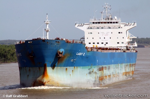
 PRIMA ANDALAN I
Current Status
Where is the vessel?
PRIMA ANDALAN I is currently in Near TANJUNG JATI, based on AIS data received less than 1h ago.
Latest AIS update:
Current position: 6.45500° S, 110.68667° E (Near TANJUNG JATI)
Average speed (last 7 days): Loading…
Average speed (last 30 days): Loading…
Vessel profile: PRIMA ANDALAN I is a Bulk Carrier with dimensions m x m.
This page combines live AIS, route history, probable destination signals, nearby traffic, and port activity for practical vessel monitoring.
The current position of vessel PRIMA ANDALAN I is -6.45500 lat / 110.68667 lng. Updated: 2026-03-30 19:21:44 UTCNearest reference points:
- 49 nm NE of TANJUNG JATI
- Near Batang
- 68 nm NW of Gagak Rimang Fso
Currently sailing under the flag of Indonesia ![]()
Details:
Live Vessel PRIMA ANDALAN I Analytics (details, animations, etc.)
Recent AIS points (UTC):
2026-03-30 13:24:44 UTC · -6.45333, 110.68833 · SOG 0 kn · COG -1°2026-03-30 15:48:41 UTC · -6.45500, 110.68667 · SOG 0 kn · COG -1°
2026-03-30 17:45:42 UTC · -6.45667, 110.68833 · SOG 0 kn · COG -1°
2026-03-30 19:21:44 UTC · -6.45500, 110.68667 · SOG 0 kn · COG -1°