 vesseltracker.com
 LOUISE
Current Status
Where is the vessel?
LOUISE is currently in 47 nm E of Palm Island, based on AIS data received less than 1h ago.
Latest AIS update:
Current position: 12.26098° N, 60.44560° W (47 nm E of Palm Island)
Average speed (last 7 days): Loading…
Average speed (last 30 days): Loading…
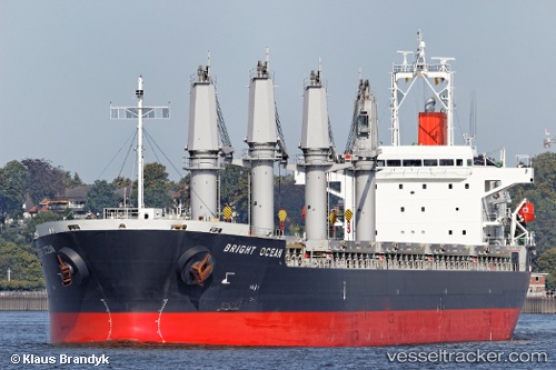
Vessel profile: LOUISE is a Bulk Carrier with dimensions m x m.
This page combines live AIS, route history, probable destination signals, nearby traffic, and port activity for practical vessel monitoring.
The current position of vessel LOUISE is 12.26098 lat / -60.44560 lng. Updated: 2026-04-06 09:20:18 UTCNearest reference points:
- Near Saint Michael
- Near Kingstown
- Near St. Georges
Currently sailing under the flag of Marshall Islands ![]()
Details:
Live Vessel LOUISE Analytics (details, animations, etc.)
Recent AIS points (UTC):
2026-04-06 04:04:00 UTC · 11.57981, -61.06221 · SOG 10.4 kn · COG 42°2026-04-06 05:17:39 UTC · 11.73740, -60.92603 · SOG 10.1 kn · COG 46°
2026-04-06 08:10:38 UTC · 12.11215, -60.58585 · SOG 10.2 kn · COG 52°
2026-04-06 09:20:18 UTC · 12.26098, -60.44560 · SOG 10.3 kn · COG 54°