 vesseltracker.com
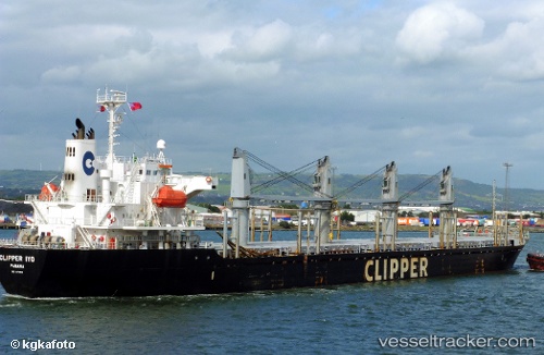
Amalea
Current StatusWhere is the vessel?
Amalea is currently in 30 nm NE of Utiel, based on AIS data received about 2h ago.
Latest AIS update:
Current position: 39.77080° N, 10.58492° W (30 nm NE of Utiel)
Average speed (last 7 days): Loading…
Average speed (last 30 days): Loading…
Vessel profile: Amalea is a Bulk Carrier with dimensions 27m x 169m.
This page combines live AIS, route history, probable destination signals, nearby traffic, and port activity for practical vessel monitoring.
The current position of vessel Amalea is 39.77080 lat / -10.58492 lng. Updated: 2026-04-02 13:25:07 UTCNearest reference points:
- 43 nm NW of Utiel
- 52 nm W of Canas de Santa Maria
- 18 nm W of Colares
Details:
Live Vessel Amalea Analytics (details, animations, etc.)
Recent AIS points (UTC):
2026-04-02 07:59:26 UTC · 40.80144, -10.50659 · SOG 11.6 kn · COG 183°2026-04-02 10:11:07 UTC · 40.38607, -10.53019 · SOG 11.2 kn · COG 183°
2026-04-02 11:28:36 UTC · 40.14422, -10.55255 · SOG 11.4 kn · COG 185°
2026-04-02 13:25:07 UTC · 39.77080, -10.58492 · SOG 11.6 kn · COG 182°