 vesseltracker.com
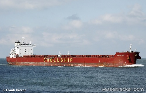
 BLUE SPIRIT
Current Status
Where is the vessel?
BLUE SPIRIT is currently in Near JAIGAD, based on AIS data received about 1h ago.
Latest AIS update:
Current position: 17.31001° N, 73.06945° E (Near JAIGAD)
Average speed (last 7 days): Loading…
Average speed (last 30 days): Loading…
Vessel profile: BLUE SPIRIT is a Bulk Carrier with dimensions m x m.
This page combines live AIS, route history, probable destination signals, nearby traffic, and port activity for practical vessel monitoring.
The current position of vessel BLUE SPIRIT is 17.31001 lat / 73.06945 lng. Updated: 2026-04-08 20:18:54 UTCNearest reference points:
- Near JAIGAD
- 49 nm W of Pernem
- Near Mumbai
Currently sailing under the flag of Marshall Islands ![]()
Details:
Live Vessel BLUE SPIRIT Analytics (details, animations, etc.)
Recent AIS points (UTC):
2026-04-08 14:21:53 UTC · 17.30998, 73.06977 · SOG 0 kn · COG 334°2026-04-08 15:21:55 UTC · 17.31008, 73.06986 · SOG 0 kn · COG 332°
2026-04-08 17:33:55 UTC · 17.30998, 73.06965 · SOG 0 kn · COG 334°
2026-04-08 20:18:54 UTC · 17.31001, 73.06945 · SOG 0 kn · COG 334°