 vesseltracker.com
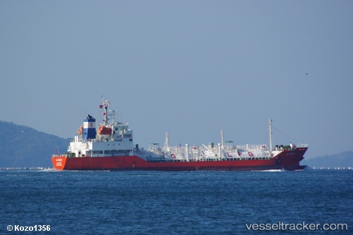
 ANNE
ANNE
Current Status
Where is the vessel?
ANNE is currently in Near BUKOM ISLAND, based on AIS data received less than 1h ago.
Latest AIS update:
Current position: 1.19127° N, 103.75753° E (Near BUKOM ISLAND)
Average speed (last 7 days): Loading…
Average speed (last 30 days): Loading…
Vessel profile: ANNE is a Lpg Tanker with dimensions m x m.
This page combines live AIS, route history, probable destination signals, nearby traffic, and port activity for practical vessel monitoring.
The current position of vessel ANNE is 1.19127 lat / 103.75753 lng. Updated: 2026-04-10 00:13:09 UTCNearest reference points:
- Near BUKOM ISLAND
- Near Pasir Panjang Wharves
- Near JURONG ISLAND
Currently sailing under the flag of Marshall Islands ![]()
Details:
Live Vessel ANNE Analytics (details, animations, etc.)
Recent AIS points (UTC):
2026-04-09 17:46:10 UTC · 1.19128, 103.75677 · SOG 0 kn · COG 18°2026-04-09 19:52:43 UTC · 1.19152, 103.75768 · SOG 0 kn · COG 303°
2026-04-09 21:58:09 UTC · 1.19113, 103.75748 · SOG 0 kn · COG 327°
2026-04-10 00:13:09 UTC · 1.19127, 103.75753 · SOG 0 kn · COG 321°