 vesseltracker.com
 EDT AEOLUS
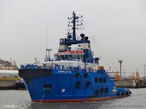
Current Status
Where is the vessel?
EDT AEOLUS is currently in 11 nm SE of Brass River, based on AIS data received about 14h ago.
Latest AIS update:
Current position: 3.90462° N, 6.38395° E (11 nm SE of Brass River)
Average speed (last 7 days): Loading…
Average speed (last 30 days): Loading…
Vessel profile: EDT AEOLUS is a Tug with dimensions m x m.
This page combines live AIS, route history, probable destination signals, nearby traffic, and port activity for practical vessel monitoring.
The current position of vessel EDT AEOLUS is 3.90462 lat / 6.38395 lng. Updated: 2026-04-10 06:52:26 UTCNearest reference points:
- 12 nm N of Okwori
- 21 nm SW of Bonny
- Near Bonny
Currently sailing under the flag of Liberia ![]()
Details:
Live Vessel EDT AEOLUS Analytics (details, animations, etc.)
Recent AIS points (UTC):
2026-04-10 02:24:54 UTC · 3.88659, 6.36602 · SOG 0.8 kn · COG 34°2026-04-10 03:48:52 UTC · 3.88895, 6.37379 · SOG 1.6 kn · COG 41°
2026-04-10 05:51:52 UTC · 3.89519, 6.38749 · SOG 0.6 kn · COG 44°
2026-04-10 06:52:26 UTC · 3.90462, 6.38395 · SOG 0.1 kn · COG 187°