 vesseltracker.com
 CHATHAM ISLAND
Current Status
Where is the vessel?
CHATHAM ISLAND is currently in 15 nm SE of Marsaxlokk, based on AIS data received about 1h ago.
Latest AIS update:
Current position: 35.65944° N, 14.79481° E (15 nm SE of Marsaxlokk)
Average speed (last 7 days): Loading…
Average speed (last 30 days): Loading…
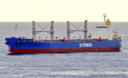
Vessel profile: CHATHAM ISLAND is a Bulk Carrier with dimensions m x m.
This page combines live AIS, route history, probable destination signals, nearby traffic, and port activity for practical vessel monitoring.
The current position of vessel CHATHAM ISLAND is 35.65944 lat / 14.79481 lng. Updated: 2026-04-13 09:55:07 UTCNearest reference points:
- 13 nm E of Il-Kappara
- 18 nm E of Il-Kappara
- Near Xghajra
Currently sailing under the flag of Singapore ![]()
Details:
Live Vessel CHATHAM ISLAND Analytics (details, animations, etc.)
Recent AIS points (UTC):
2026-04-13 04:06:47 UTC · 35.70406, 14.95919 · SOG 1.7 kn · COG 207°2026-04-13 05:39:47 UTC · 35.69289, 14.91537 · SOG 2.4 kn · COG 194°
2026-04-13 08:19:28 UTC · 35.67352, 14.83995 · SOG 1.8 kn · COG 204°
2026-04-13 09:55:07 UTC · 35.65944, 14.79481 · SOG 1.7 kn · COG 216°