 vesseltracker.com
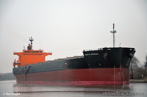
 EXELIXSEA
Current Status
Where is the vessel?
EXELIXSEA is currently in Near NEMRUT, based on AIS data received less than 1h ago.
Latest AIS update:
Current position: 38.76093° N, 26.92989° E (Near NEMRUT)
Average speed (last 7 days): Loading…
Average speed (last 30 days): Loading…
Vessel profile: EXELIXSEA is a Bulk Carrier with dimensions m x m.
This page combines live AIS, route history, probable destination signals, nearby traffic, and port activity for practical vessel monitoring.
The current position of vessel EXELIXSEA is 38.76093 lat / 26.92989 lng. Updated: 2026-04-18 06:12:33 UTCNearest reference points:
- Near NEMRUT
- Near Nemrut Bay
- Near Aliaga
Currently sailing under the flag of Marshall Islands ![]()
Details:
Live Vessel EXELIXSEA Analytics (details, animations, etc.)
Recent AIS points (UTC):
2026-04-17 23:54:33 UTC · 38.76092, 26.92989 · SOG 0 kn · COG 176°2026-04-18 01:48:33 UTC · 38.76093, 26.92992 · SOG 0 kn · COG 176°
2026-04-18 04:00:33 UTC · 38.76097, 26.92987 · SOG 0 kn · COG 176°
2026-04-18 06:12:33 UTC · 38.76093, 26.92989 · SOG 0 kn · COG 177°