 vesseltracker.com
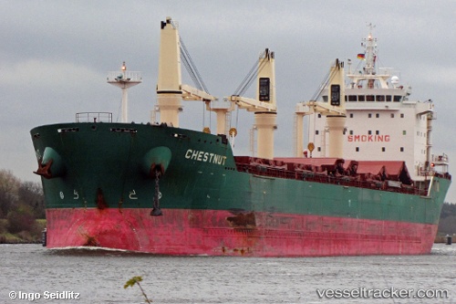
 Chestnut
Current Status
Where is the vessel?
Chestnut is currently in 120 nm NE of Quiterianópolis, based on AIS data received about 1h ago.
Latest AIS update:
Current position: 7.51833° N, 39.60500° W (120 nm NE of Quiterianópolis)
Average speed (last 7 days): Loading…
Average speed (last 30 days): Loading…
Vessel profile: Chestnut is a Bulk Carrier with dimensions 185m x 24m.
This page combines live AIS, route history, probable destination signals, nearby traffic, and port activity for practical vessel monitoring.
The current position of vessel Chestnut is 7.51833 lat / -39.60500 lng. Updated: 2026-03-28 06:00:55 UTCCurrently sailing under the flag of Liberia ![]()
Chestnut built in 2010 year
Deadweight:
30809 tDetails:
Live Vessel Chestnut Analytics (details, animations, etc.)
Recent AIS points (UTC):
2026-03-28 00:18:54 UTC · 6.35667, -39.14833 · SOG 13 kn · COG -1°2026-03-28 01:48:54 UTC · 6.66333, -39.27167 · SOG 13 kn · COG -1°
2026-03-28 04:19:00 UTC · 7.17167, -39.47333 · SOG 12 kn · COG -1°
2026-03-28 06:00:55 UTC · 7.51833, -39.60500 · SOG 12 kn · COG -1°