 vesseltracker.com
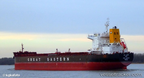
 ATLANTICA STAR
Current Status
Where is the vessel?
ATLANTICA STAR is currently in 36 nm W of Barcarena, based on AIS data received about 1h ago.
Latest AIS update:
Current position: 0.29270° S, 47.95541° W (36 nm W of Barcarena)
Average speed (last 7 days): Loading…
Average speed (last 30 days): Loading…
Vessel profile: ATLANTICA STAR is a Bulk Carrier with dimensions m x m.
This page combines live AIS, route history, probable destination signals, nearby traffic, and port activity for practical vessel monitoring.
The current position of vessel ATLANTICA STAR is -0.29270 lat / -47.95541 lng. Updated: 2026-03-29 09:36:20 UTCNearest reference points:
- Near Belem
- 70 nm N of Tucuma
- 55 nm N of Tucuma
Currently sailing under the flag of Marshall Islands ![]()
Details:
Live Vessel ATLANTICA STAR Analytics (details, animations, etc.)
Recent AIS points (UTC):
2026-03-29 04:08:35 UTC · -0.64522, -48.36937 · SOG 0.1 kn · COG 195°2026-03-29 05:42:00 UTC · -0.61474, -48.35656 · SOG 9.6 kn · COG 40°
2026-03-29 08:19:14 UTC · -0.34487, -48.10285 · SOG 7.1 kn · COG 70°
2026-03-29 09:36:20 UTC · -0.29270, -47.95541 · SOG 7.9 kn · COG 68°