 vesseltracker.com
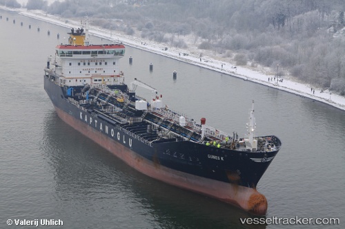
 GUNES K
Current Status
Where is the vessel?
GUNES K is currently in Near Port Louis, based on AIS data received less than 1h ago.
Latest AIS update:
Current position: 20.15628° S, 57.49752° E (Near Port Louis)
Average speed (last 7 days): Loading…
Average speed (last 30 days): Loading…
Vessel profile: GUNES K is a Oil/Chemical Tanker with dimensions m x m.
This page combines live AIS, route history, probable destination signals, nearby traffic, and port activity for practical vessel monitoring.
The current position of vessel GUNES K is -20.15628 lat / 57.49752 lng. Updated: 2026-04-18 03:54:08 UTCNearest reference points:
- Near Port Louis
- 164 nm NW of Pointe aux Canonniers
Currently sailing under the flag of Malta ![]()
Details:
Live Vessel GUNES K Analytics (details, animations, etc.)
Recent AIS points (UTC):
2026-04-17 22:24:06 UTC · -20.15630, 57.49751 · SOG 0 kn · COG 337°2026-04-18 00:24:08 UTC · -20.15628, 57.49753 · SOG 0 kn · COG 337°
2026-04-18 01:39:06 UTC · -20.15628, 57.49750 · SOG 0 kn · COG 337°
2026-04-18 03:54:08 UTC · -20.15628, 57.49752 · SOG 0 kn · COG 337°