 vesseltracker.com
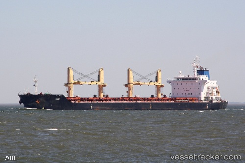
 MIKE BAY
Current Status
Where is the vessel?
MIKE BAY is currently in 17 nm S of Piriápolis, based on AIS data received less than 1h ago.
Latest AIS update:
Current position: 35.15293° S, 55.21710° W (17 nm S of Piriápolis)
Average speed (last 7 days): Loading…
Average speed (last 30 days): Loading…
Vessel profile: MIKE BAY is a Bulk Carrier with dimensions 30m x 180m.
This page combines live AIS, route history, probable destination signals, nearby traffic, and port activity for practical vessel monitoring.
The current position of vessel MIKE BAY is -35.15293 lat / -55.21710 lng. Updated: 2026-04-08 20:01:11 UTCNearest reference points:
- 12 nm S of Piriápolis
- 21 nm E of PUNTA DEL ESTE
- 16 nm N of Cabo San Antonio
Currently sailing under the flag of Marshall Islands ![]()
MIKE BAY built in 2010 year
Deadweight:
34529 tDetails:
Live Vessel MIKE BAY Analytics (details, animations, etc.)
Recent AIS points (UTC):
2026-04-08 13:52:09 UTC · -35.15312, -55.21793 · SOG 0.3 kn · COG 176°2026-04-08 15:25:13 UTC · -35.15288, -55.21688 · SOG 0.2 kn · COG 193°
2026-04-08 18:04:06 UTC · -35.15270, -55.21763 · SOG 0.2 kn · COG 183°
2026-04-08 20:01:11 UTC · -35.15293, -55.21710 · SOG 0.3 kn · COG 199°