 vesseltracker.com
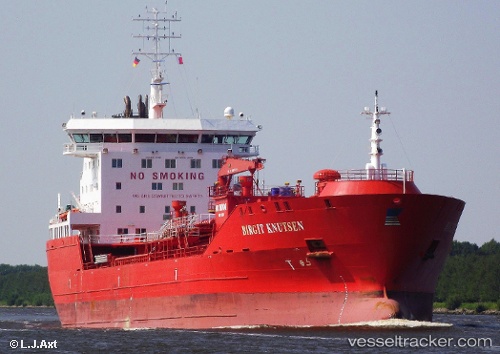
 ALGOLUNA
Current Status
Where is the vessel?
ALGOLUNA is currently in 15 nm E of Point Pelee, based on AIS data received about 1d ago.
Latest AIS update:
Current position: 41.88623° N, 82.20380° W (15 nm E of Point Pelee)
Average speed (last 7 days): Loading…
Average speed (last 30 days): Loading…
Vessel profile: ALGOLUNA is a Oil/Chemical Tanker with dimensions m x m.
This page combines live AIS, route history, probable destination signals, nearby traffic, and port activity for practical vessel monitoring.
The current position of vessel ALGOLUNA is 41.88623 lat / -82.20380 lng. Updated: 2026-04-10 07:46:57 UTCNearest reference points:
- Near Scudder
- Near Linndale
- Near Put-In-Bay
Currently sailing under the flag of Canada ![]()
Details:
Live Vessel ALGOLUNA Analytics (details, animations, etc.)
Recent AIS points (UTC):
2026-04-10 02:17:11 UTC · 42.29833, -80.76833 · SOG 12 kn · COG -1°2026-04-10 04:19:07 UTC · 42.14775, -81.29685 · SOG 12.3 kn · COG 249°
2026-04-10 06:11:12 UTC · 42.00500, -81.78500 · SOG 12 kn · COG -1°
2026-04-10 07:46:57 UTC · 41.88623, -82.20380 · SOG 12.4 kn · COG 249°