 vesseltracker.com
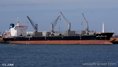
 KATONG WW
Current Status
Where is the vessel?
KATONG WW is currently in 13 nm W of Dehiwala, based on AIS data received about 3h ago.
Latest AIS update:
Current position: 6.89845° N, 79.64207° E (13 nm W of Dehiwala)
Average speed (last 7 days): Loading…
Average speed (last 30 days): Loading…
Vessel profile: KATONG WW is a General Cargo with dimensions m x m.
This page combines live AIS, route history, probable destination signals, nearby traffic, and port activity for practical vessel monitoring.
The current position of vessel KATONG WW is 6.89845 lat / 79.64207 lng. Updated: 2026-03-27 04:04:32 UTCNearest reference points:
- 19 nm SW of Bataduwa
- 67 nm SW of Moratuwa
- 82 nm W of Moratuwa
Currently sailing under the flag of Panama ![]()
Details:
Live Vessel KATONG WW Analytics (details, animations, etc.)
Recent AIS points (UTC):
2026-03-26 21:26:22 UTC · 6.89847, 79.64397 · SOG 0.2 kn · COG 314°2026-03-27 00:11:42 UTC · 6.89667, 79.64333 · SOG 0 kn · COG -1°
2026-03-27 02:28:31 UTC · 6.89826, 79.64232 · SOG 0.1 kn · COG 32°
2026-03-27 04:04:32 UTC · 6.89845, 79.64207 · SOG 0.1 kn · COG 48°