 vesseltracker.com
 RUBATO
Current Status
Where is the vessel?
RUBATO is currently in 17 nm E of Krieschow, based on AIS data received less than 1h ago.
Latest AIS update:
Current position: 51.65742° N, 2.24047° E (17 nm E of Krieschow)
Average speed (last 7 days): Loading…
Average speed (last 30 days): Loading…
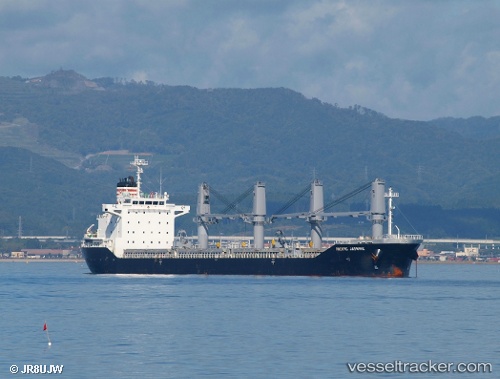
Vessel profile: RUBATO is a Bulk Carrier with dimensions m x m.
This page combines live AIS, route history, probable destination signals, nearby traffic, and port activity for practical vessel monitoring.
The current position of vessel RUBATO is 51.65742 lat / 2.24047 lng. Updated: 2026-04-03 07:57:05 UTCNearest reference points:
- 13 nm NW of Middelkerke
- 15 nm E of RAMSGATE
- 21 nm S of Craven Arms
Currently sailing under the flag of Antigua and Barbuda ![]()
Details:
Live Vessel RUBATO Analytics (details, animations, etc.)
Recent AIS points (UTC):
2026-04-03 05:45:23 UTC · 51.93547, 2.62853 · SOG 9.2 kn · COG 222°2026-04-03 05:45:23 UTC · 51.93547, 2.62853 · SOG 9.2 kn · COG 222°
2026-04-03 07:57:05 UTC · 51.65742, 2.24047 · SOG 11.1 kn · COG 225°
2026-04-03 07:57:05 UTC · 51.65742, 2.24047 · SOG 11.1 kn · COG 225°