 vesseltracker.com
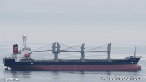
 PARDUS
Current Status
Where is the vessel?
PARDUS is currently in 11 nm W of Verzy, based on AIS data received less than 1h ago.
Latest AIS update:
Current position: 49.21538° N, 4.42933° W (11 nm W of Verzy)
Average speed (last 7 days): Loading…
Average speed (last 30 days): Loading…
Vessel profile: PARDUS is a Bulk Carrier with dimensions m x m.
This page combines live AIS, route history, probable destination signals, nearby traffic, and port activity for practical vessel monitoring.
The current position of vessel PARDUS is 49.21538 lat / -4.42933 lng. Updated: 2026-04-03 03:28:32 UTCNearest reference points:
- Near Verzy
- 23 nm SW of Cornwall
- 28 nm N of Landunvez
Currently sailing under the flag of Barbados ![]()
Details:
Live Vessel PARDUS Analytics (details, animations, etc.)
Recent AIS points (UTC):
2026-04-02 22:14:41 UTC · 48.63643, -5.71220 · SOG 10.4 kn · COG 25°2026-04-02 23:53:41 UTC · 48.84102, -5.42070 · SOG 11 kn · COG 59°
2026-04-03 02:22:11 UTC · 49.09285, -4.75975 · SOG 13.3 kn · COG 62°
2026-04-03 03:28:32 UTC · 49.21538, -4.42933 · SOG 13.7 kn · COG 59°