 vesseltracker.com
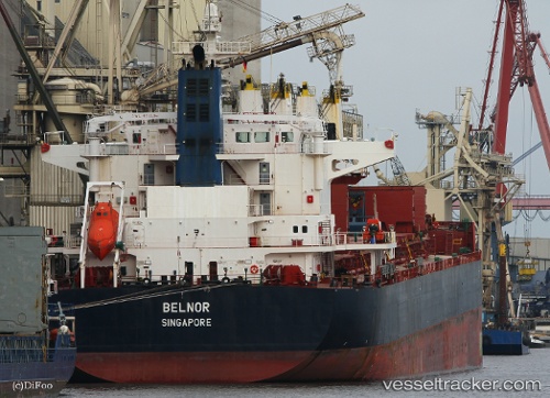
 HARMONY LIGHT
Current Status
Where is the vessel?
HARMONY LIGHT is currently in Near Banjul, based on AIS data received about 15h ago.
Latest AIS update:
Current position: 13.46405° N, 16.56017° W (Near Banjul)
Average speed (last 7 days): Loading…
Average speed (last 30 days): Loading…
Vessel profile: HARMONY LIGHT is a Bulk Carrier with dimensions m x m.
This page combines live AIS, route history, probable destination signals, nearby traffic, and port activity for practical vessel monitoring.
The current position of vessel HARMONY LIGHT is 13.46405 lat / -16.56017 lng. Updated: 2026-04-10 08:07:24 UTCNearest reference points:
- Near Banjul
- Near San Francisco Libre
- Near Rufisque
Currently sailing under the flag of Panama ![]()
Details:
Live Vessel HARMONY LIGHT Analytics (details, animations, etc.)
Recent AIS points (UTC):
2026-04-10 02:37:22 UTC · 13.46092, -16.55917 · SOG 0 kn · COG 352°2026-04-10 04:19:25 UTC · 13.46083, -16.55968 · SOG 0 kn · COG 7°
2026-04-10 05:22:24 UTC · 13.46108, -16.56027 · SOG 0.1 kn · COG 32°
2026-04-10 08:07:24 UTC · 13.46405, -16.56017 · SOG 0 kn · COG 168°