 vesseltracker.com
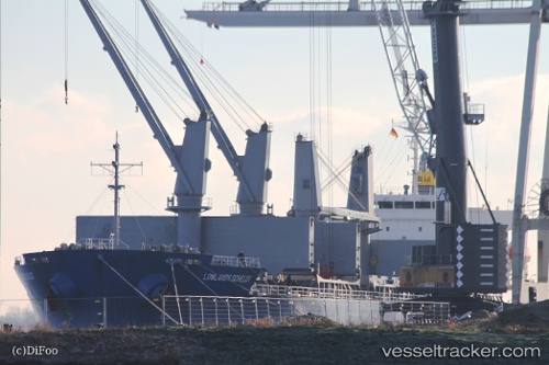
 ARGYROULA GS
Current Status
Where is the vessel?
ARGYROULA GS is currently in 16 nm W of Maman/Lod, based on AIS data received about 2h ago.
Latest AIS update:
Current position: 32.08821° N, 34.44762° E (16 nm W of Maman/Lod)
Average speed (last 7 days): Loading…
Average speed (last 30 days): Loading…
Vessel profile: ARGYROULA GS is a General Cargo Ship with dimensions 177m x 177m.
This page combines live AIS, route history, probable destination signals, nearby traffic, and port activity for practical vessel monitoring.
The current position of vessel ARGYROULA GS is 32.08821 lat / 34.44762 lng. Updated: 2026-03-29 10:40:39 UTCNearest reference points:
- 22 nm W of Haifa Granaries
- Near Haifa
- Near AL ARISH
Currently sailing under the flag of Marshall Islands ![]()
ARGYROULA GS built in 2011 year
Deadweight:
33178 tDetails:
Live Vessel ARGYROULA GS Analytics (details, animations, etc.)
Recent AIS points (UTC):
2026-03-29 04:20:18 UTC · 32.16509, 34.35912 · SOG 0.3 kn · COG 154°2026-03-29 08:01:58 UTC · 32.06791, 34.38284 · SOG 3.7 kn · COG 125°
2026-03-29 09:47:22 UTC · 32.08608, 34.42653 · SOG 0.9 kn · COG 5°
2026-03-29 10:40:39 UTC · 32.08821, 34.44762 · SOG 1.3 kn · COG 12°