 vesseltracker.com
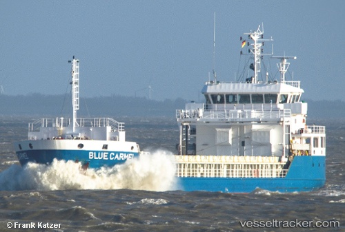
 ELENI K
Current Status
Where is the vessel?
ELENI K is currently in 16 nm NW of Bayona, based on AIS data received about 2h ago.
Latest AIS update:
Current position: 42.24668° N, 9.16695° W (16 nm NW of Bayona)
Average speed (last 7 days): Loading…
Average speed (last 30 days): Loading…
Vessel profile: ELENI K is a General Cargo with dimensions m x m.
This page combines live AIS, route history, probable destination signals, nearby traffic, and port activity for practical vessel monitoring.
The current position of vessel ELENI K is 42.24668 lat / -9.16695 lng. Updated: 2026-03-27 22:00:38 UTCNearest reference points:
- Near Corujo
- Near Vigo
- Near Portosin
Currently sailing under the flag of Marshall Islands ![]()
Details:
Live Vessel ELENI K Analytics (details, animations, etc.)
Recent AIS points (UTC):
2026-03-27 16:18:34 UTC · 42.39902, -8.70120 · SOG 0 kn · COG 189°2026-03-27 18:02:29 UTC · 42.39896, -8.70116 · SOG 0 kn · COG 188°
2026-03-27 20:04:41 UTC · 42.36326, -8.85139 · SOG 7.9 kn · COG 239°
2026-03-27 22:00:38 UTC · 42.24668, -9.16695 · SOG 9 kn · COG 249°