 vesseltracker.com
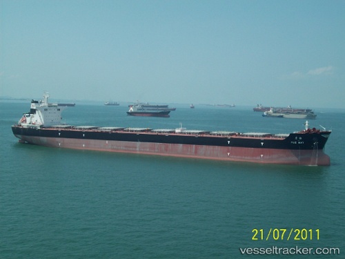
 ALMERA
Current Status
Where is the vessel?
ALMERA is currently in 24 nm SE of DHAMRA, based on AIS data received less than 1h ago.
Latest AIS update:
Current position: 20.65983° N, 87.36652° E (24 nm SE of DHAMRA)
Average speed (last 7 days): Loading…
Average speed (last 30 days): Loading…
Vessel profile: ALMERA is a Cargo with dimensions m x m.
This page combines live AIS, route history, probable destination signals, nearby traffic, and port activity for practical vessel monitoring.
The current position of vessel ALMERA is 20.65983 lat / 87.36652 lng. Updated: 2026-04-18 03:43:00 UTCNearest reference points:
- 45 nm S of Contai
- Near Paradip
- 61 nm E of DHAMRA
Currently sailing under the flag of Portugal ![]()
Details:
Live Vessel ALMERA Analytics (details, animations, etc.)
Recent AIS points (UTC):
2026-04-17 01:01:11 UTC · 20.82203, 86.97079 · SOG 0 kn · COG -1°2026-04-18 00:16:50 UTC · 20.84776, 86.98751 · SOG 10.1 kn · COG 52°
2026-04-18 01:11:02 UTC · 20.91333, 87.11833 · SOG 6 kn · COG -1°
2026-04-18 03:43:00 UTC · 20.65983, 87.36652 · SOG 10.7 kn · COG 189°