 vesseltracker.com
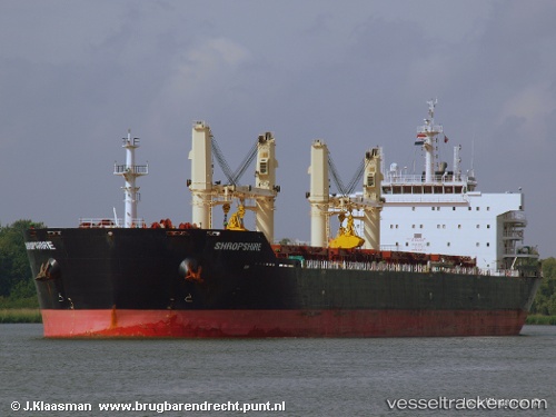
 LOURA
LOURA
Current Status
Where is the vessel?
LOURA is currently in 10 nm NW of Rozi, based on AIS data received about 1h ago.
Latest AIS update:
Current position: 22.70603° N, 69.92105° E (10 nm NW of Rozi)
Average speed (last 7 days): Loading…
Average speed (last 30 days): Loading…
Vessel profile: LOURA is a Bulk Carrier with dimensions m x m.
This page combines live AIS, route history, probable destination signals, nearby traffic, and port activity for practical vessel monitoring.
The current position of vessel LOURA is 22.70603 lat / 69.92105 lng. Updated: 2026-04-10 01:49:19 UTCNearest reference points:
- 12 nm N of Rozi
- Near SIKKA
- 15 nm N of Rozi
Currently sailing under the flag of Liberia ![]()
Details:
Live Vessel LOURA Analytics (details, animations, etc.)
Recent AIS points (UTC):
2026-04-09 20:06:36 UTC · 22.70694, 69.92279 · SOG 0.1 kn · COG 291°2026-04-09 21:51:36 UTC · 22.70746, 69.92318 · SOG 0 kn · COG 275°
2026-04-09 23:58:17 UTC · 22.70733, 69.92302 · SOG 0 kn · COG -1°
2026-04-10 01:49:19 UTC · 22.70603, 69.92105 · SOG 0 kn · COG -1°