 vesseltracker.com
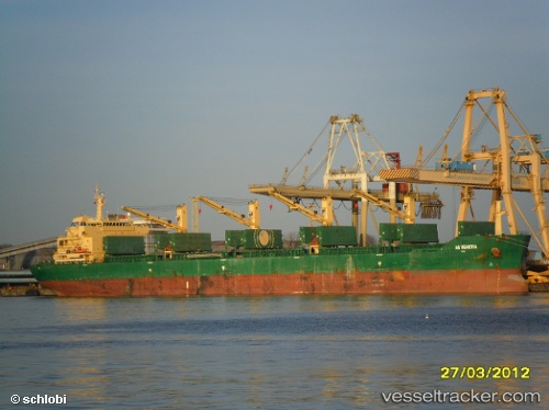
Good Hope
Current StatusWhere is the vessel?
Good Hope is currently in 118 nm E of Mombasa, based on AIS data received about 2h ago.
Latest AIS update:
Current position: 4.68458° S, 41.55348° E (118 nm E of Mombasa)
Average speed (last 7 days): Loading…
Average speed (last 30 days): Loading…
Vessel profile: Good Hope is a Bulk Carrier with dimensions 32m x 190m.
This page combines live AIS, route history, probable destination signals, nearby traffic, and port activity for practical vessel monitoring.
The current position of vessel Good Hope is -4.68458 lat / 41.55348 lng. Updated: 2026-03-28 20:06:19 UTCNearest reference points:
- 11 nm SE of Mombasa
- Near Mombasa
- Near Dar Es Salaam
Details:
Live Vessel Good Hope Analytics (details, animations, etc.)
Recent AIS points (UTC):
2026-03-28 13:00:57 UTC · -4.46869, 41.40824 · SOG 2.3 kn · COG 88°2026-03-28 15:36:11 UTC · -4.55388, 41.46393 · SOG 2.1 kn · COG 90°
2026-03-28 17:40:36 UTC · -4.61087, 41.50581 · SOG 2.1 kn · COG 89°
2026-03-28 20:06:19 UTC · -4.68458, 41.55348 · SOG 1.7 kn · COG 74°