 vesseltracker.com
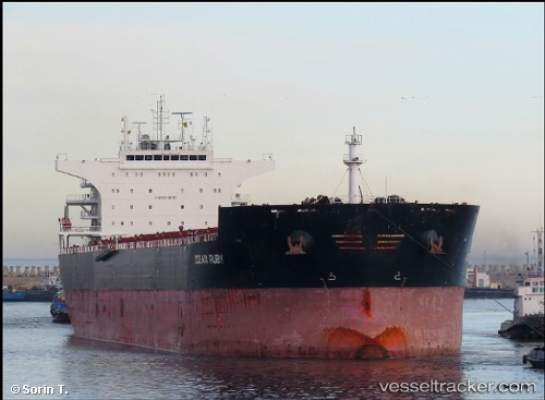
 GREY WHALE
Current Status
Where is the vessel?
GREY WHALE is currently in Near Ust-Luga, based on AIS data received about 1h ago.
Latest AIS update:
Current position: 59.68845° N, 28.42056° E (Near Ust-Luga)
Average speed (last 7 days): Loading…
Average speed (last 30 days): Loading…
Vessel profile: GREY WHALE is a Bulk Carrier with dimensions m x m.
This page combines live AIS, route history, probable destination signals, nearby traffic, and port activity for practical vessel monitoring.
The current position of vessel GREY WHALE is 59.68845 lat / 28.42056 lng. Updated: 2026-04-08 13:55:19 UTCNearest reference points:
- Near Ust'-Luga
- Near Ust-Luga
- Near Ruch’I
Currently sailing under the flag of Barbados ![]()
Details:
Live Vessel GREY WHALE Analytics (details, animations, etc.)
Recent AIS points (UTC):
2026-04-08 08:10:18 UTC · 59.68846, 28.42055 · SOG 0 kn · COG 179°2026-04-08 10:05:40 UTC · 59.68839, 28.42063 · SOG 0 kn · COG -1°
2026-04-08 12:22:22 UTC · 59.68858, 28.42065 · SOG 0 kn · COG 179°
2026-04-08 13:55:19 UTC · 59.68845, 28.42056 · SOG 0 kn · COG 179°