 vesseltracker.com
 CAPE PEREGRINE
Current Status
Where is the vessel?
CAPE PEREGRINE is currently in 14 nm S of ILHA GUAIBA, based on AIS data received less than 1h ago.
Latest AIS update:
Current position: 23.23833° S, 44.04098° W (14 nm S of ILHA GUAIBA)
Average speed (last 7 days): Loading…
Average speed (last 30 days): Loading…
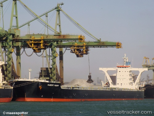
Vessel profile: CAPE PEREGRINE is a Bulk Carrier with dimensions 45m x 292m.
This page combines live AIS, route history, probable destination signals, nearby traffic, and port activity for practical vessel monitoring.
The current position of vessel CAPE PEREGRINE is -23.23833 lat / -44.04098 lng. Updated: 2026-04-09 22:21:08 UTCNearest reference points:
- Near ILHA GUAIBA
- Near SANTA RITA
- Near CUNHAMBEBE
Currently sailing under the flag of Liberia ![]()
CAPE PEREGRINE built in 2012 year
Deadweight:
180643 tDetails:
Live Vessel CAPE PEREGRINE Analytics (details, animations, etc.)
Recent AIS points (UTC):
2026-04-09 16:08:56 UTC · -23.23887, -44.03935 · SOG 0.4 kn · COG 217°2026-04-09 18:10:47 UTC · -23.23833, -44.03833 · SOG 0 kn · COG -1°
2026-04-09 20:15:18 UTC · -23.23830, -44.04080 · SOG 0.1 kn · COG 190°
2026-04-09 22:21:08 UTC · -23.23833, -44.04098 · SOG 0.2 kn · COG 191°