 vesseltracker.com
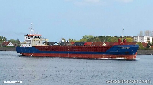
 HAV SAND
Current Status
Where is the vessel?
HAV SAND is currently in Near EYDEHAVN, based on AIS data received about 2h ago.
Latest AIS update:
Current position: 58.39641° N, 8.99961° E (Near EYDEHAVN)
Average speed (last 7 days): Loading…
Average speed (last 30 days): Loading…
Vessel profile: HAV SAND is a General Cargo with dimensions m x m.
This page combines live AIS, route history, probable destination signals, nearby traffic, and port activity for practical vessel monitoring.
The current position of vessel HAV SAND is 58.39641 lat / 8.99961 lng. Updated: 2026-03-27 21:33:54 UTCNearest reference points:
- 28 nm NW of Lokken
- 27 nm N of HANSTHOLM
- Near Rønningen
Details:
Live Vessel HAV SAND Analytics (details, animations, etc.)
Recent AIS points (UTC):
2026-03-27 15:37:22 UTC · 59.11979, 9.57170 · SOG 0 kn · COG 331°2026-03-27 17:53:07 UTC · 58.85175, 9.73010 · SOG 10.5 kn · COG 204°
2026-03-27 20:08:17 UTC · 58.55912, 9.26787 · SOG 9.3 kn · COG 220°
2026-03-27 21:33:54 UTC · 58.39641, 8.99961 · SOG 9 kn · COG 226°