 vesseltracker.com
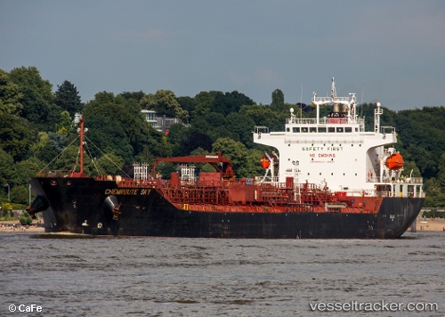
Chemroute Sky
Current StatusWhere is the vessel?
Chemroute Sky is currently in 13 nm SE of Måndvi, based on AIS data received less than 1h ago.
Latest AIS update:
Current position: 22.64176° N, 69.48527° E (13 nm SE of Måndvi)
Average speed (last 7 days): Loading…
Average speed (last 30 days): Loading…
Vessel profile: Chemroute Sky is a Chemical Oil Products Tanker with dimensions 26m x 156m.
This page combines live AIS, route history, probable destination signals, nearby traffic, and port activity for practical vessel monitoring.
The current position of vessel Chemroute Sky is 22.64176 lat / 69.48527 lng. Updated: 2026-03-29 07:25:44 UTCNearest reference points:
- Near Khambhaliya
- Near SIKKA
- Near Mundra
Details:
Live Vessel Chemroute Sky Analytics (details, animations, etc.)
Recent AIS points (UTC):
2026-03-29 00:53:36 UTC · 22.49151, 69.84676 · SOG 0 kn · COG 310°2026-03-29 03:41:36 UTC · 22.49151, 69.84676 · SOG 0 kn · COG 310°
2026-03-29 05:25:39 UTC · 22.55470, 69.74872 · SOG 6.5 kn · COG 292°
2026-03-29 07:25:44 UTC · 22.64176, 69.48527 · SOG 14.8 kn · COG 276°