 vesseltracker.com
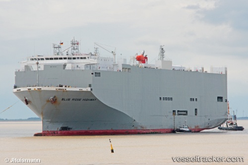
Blue Ridge Highway
Current StatusWhere is the vessel?
Blue Ridge Highway is currently in 105 nm E of Lü-hua Shan, based on AIS data received about 2h ago.
Latest AIS update:
Current position: 31.12702° N, 124.62454° E (105 nm E of Lü-hua Shan)
Average speed (last 7 days): Loading…
Average speed (last 30 days): Loading…
Vessel profile: Blue Ridge Highway is a Vehicles Carrier with dimensions 31m x 180m.
This page combines live AIS, route history, probable destination signals, nearby traffic, and port activity for practical vessel monitoring.
The current position of vessel Blue Ridge Highway is 31.12702 lat / 124.62454 lng. Updated: 2026-03-27 21:45:11 UTCNearest reference points:
- 97 nm E of Lü-hua Shan
- 116 nm E of Lü-hua Shan
- 86 nm E of Lü-hua Shan
Details:
Live Vessel Blue Ridge Highway Analytics (details, animations, etc.)
Recent AIS points (UTC):
2026-03-27 15:38:09 UTC · 31.06840, 126.69680 · SOG 17.1 kn · COG -1°2026-03-27 17:47:27 UTC · 31.07205, 125.96960 · SOG 17.6 kn · COG 277°
2026-03-27 19:51:33 UTC · 31.09440, 125.26305 · SOG 17.6 kn · COG 274°
2026-03-27 21:45:11 UTC · 31.12702, 124.62454 · SOG 17.2 kn · COG -1°