 vesseltracker.com
 NEW ERA
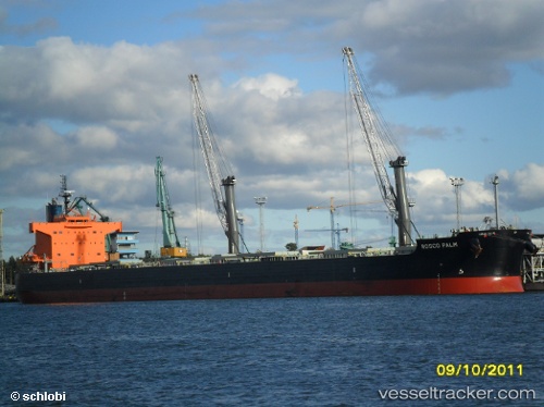
Current Status
Where is the vessel?
NEW ERA is currently in Near Astoria, based on AIS data received about 1h ago.
Latest AIS update:
Current position: 46.20100° N, 123.82020° W (Near Astoria)
Average speed (last 7 days): Loading…
Average speed (last 30 days): Loading…
Vessel profile: NEW ERA is a Bulk Carrier with dimensions m x m.
This page combines live AIS, route history, probable destination signals, nearby traffic, and port activity for practical vessel monitoring.
The current position of vessel NEW ERA is 46.20100 lat / -123.82020 lng. Updated: 2026-04-19 16:46:50 UTCNearest reference points:
- Near Astoria
- Near WARRENTON
- Near Grays River
Currently sailing under the flag of Marshall Islands ![]()
Details:
Live Vessel NEW ERA Analytics (details, animations, etc.)
Recent AIS points (UTC):
2026-04-19 13:49:49 UTC · 46.20111, -123.82022 · SOG 0.9 kn · COG 63°2026-04-19 14:22:37 UTC · 46.20087, -123.81988 · SOG 0.4 kn · COG -1°
2026-04-19 15:37:47 UTC · 46.20103, -123.82017 · SOG 0.2 kn · COG -1°
2026-04-19 16:46:50 UTC · 46.20100, -123.82020 · SOG 0.3 kn · COG 63°