 vesseltracker.com
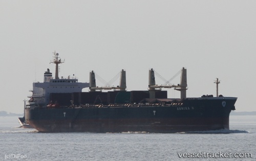
 ANNIKA N
Current Status
Where is the vessel?
ANNIKA N is currently in 33 nm W of ITACOATIARA, based on AIS data received about 2h ago.
Latest AIS update:
Current position: 3.23212° S, 58.99967° W (33 nm W of ITACOATIARA)
Average speed (last 7 days): Loading…
Average speed (last 30 days): Loading…
Vessel profile: ANNIKA N is a Bulk Carrier with dimensions 190m x 33m.
This page combines live AIS, route history, probable destination signals, nearby traffic, and port activity for practical vessel monitoring.
The current position of vessel ANNIKA N is -3.23212 lat / -58.99967 lng. Updated: 2026-03-30 03:31:59 UTCNearest reference points:
- Near ITACOATIARA
- Near Manaus
Currently sailing under the flag of Marshall Islands ![]()
ANNIKA N built in 2011 year
Deadweight:
55768 tDetails:
Live Vessel ANNIKA N Analytics (details, animations, etc.)
Recent AIS points (UTC):
2026-03-29 21:20:07 UTC · -3.23213, -58.99932 · SOG 0 kn · COG 286°2026-03-29 23:20:03 UTC · -3.23218, -58.99930 · SOG 0 kn · COG 286°
2026-03-30 01:56:02 UTC · -3.23207, -58.99970 · SOG 0 kn · COG 285°
2026-03-30 03:31:59 UTC · -3.23212, -58.99967 · SOG 0 kn · COG 288°