 vesseltracker.com
 Shining Road
Current Status
Where is the vessel?
Shining Road is currently in Near DAESAN, based on AIS data received about 2h ago.
Latest AIS update:
Current position: 37.03922° N, 126.41020° E (Near DAESAN)
Average speed (last 7 days): Loading…
Average speed (last 30 days): Loading…
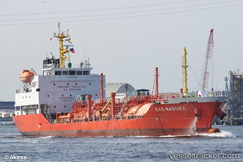
Vessel profile: Shining Road is a Lpg Tanker with dimensions 97m x 17m.
This page combines live AIS, route history, probable destination signals, nearby traffic, and port activity for practical vessel monitoring.
The current position of vessel Shining Road is 37.03922 lat / 126.41020 lng. Updated: 2026-03-26 05:21:14 UTCNearest reference points:
- Near DAESAN
- 10 nm N of DAESAN
- 14 nm SW of Incheon
Currently sailing under the flag of Korea ![]()
Details:
Live Vessel Shining Road Analytics (details, animations, etc.)
Recent AIS points (UTC):
2026-03-25 23:24:13 UTC · 37.03820, 126.41018 · SOG 0 kn · COG 305°2026-03-26 01:48:12 UTC · 37.03878, 126.40850 · SOG 0 kn · COG 76°
2026-03-26 04:09:14 UTC · 37.03915, 126.40862 · SOG 0.1 kn · COG 143°
2026-03-26 05:21:14 UTC · 37.03922, 126.41020 · SOG 0 kn · COG 225°