 vesseltracker.com
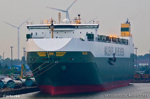
 SALOME
Current Status
Where is the vessel?
SALOME is currently in 74 nm NW of Whangaroa, based on AIS data received less than 1h ago.
Latest AIS update:
Current position: 34.08032° S, 172.81107° E (74 nm NW of Whangaroa)
Average speed (last 7 days): Loading…
Average speed (last 30 days): Loading…
Vessel profile: SALOME is a Vehicles Carrier with dimensions m x m.
This page combines live AIS, route history, probable destination signals, nearby traffic, and port activity for practical vessel monitoring.
The current position of vessel SALOME is -34.08032 lat / 172.81107 lng. Updated: 2026-04-01 22:07:30 UTCNearest reference points:
- 30 nm N of Waitangi
- Near Waitangi
- 170 nm NW of Whangaroa
Currently sailing under the flag of Norway ![]()
Details:
Live Vessel SALOME Analytics (details, animations, etc.)
Recent AIS points (UTC):
2026-04-01 16:18:22 UTC · -34.85933, 174.26894 · SOG 14.5 kn · COG 309°2026-04-01 17:57:45 UTC · -34.62319, 173.87029 · SOG 14.3 kn · COG 306°
2026-04-01 19:48:24 UTC · -34.36115, 173.42545 · SOG 15.2 kn · COG 308°
2026-04-01 22:07:30 UTC · -34.08032, 172.81107 · SOG 15.2 kn · COG 297°