 vesseltracker.com
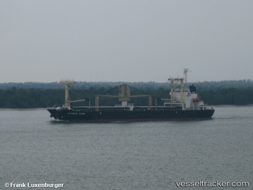
 EASTERN HARMONY
Current Status
Where is the vessel?
EASTERN HARMONY is currently in 11 nm NW of KENDARI, based on AIS data received about 1h ago.
Latest AIS update:
Current position: 3.81399° S, 122.50400° E (11 nm NW of KENDARI)
Average speed (last 7 days): Loading…
Average speed (last 30 days): Loading…
Vessel profile: EASTERN HARMONY is a General Cargo Ship with dimensions 20m x 119m.
This page combines live AIS, route history, probable destination signals, nearby traffic, and port activity for practical vessel monitoring.
The current position of vessel EASTERN HARMONY is -3.81399 lat / 122.50400 lng. Updated: 2026-04-08 15:53:59 UTCNearest reference points:
- 11 nm NW of KENDARI
- 45 nm N of KENDARI
- Near Labuan
Currently sailing under the flag of Liberia ![]()
EASTERN HARMONY built in 2009 year
Deadweight:
12000 tDetails:
Live Vessel EASTERN HARMONY Analytics (details, animations, etc.)
Recent AIS points (UTC):
2026-04-08 09:36:03 UTC · -3.80989, 122.50155 · SOG 0.1 kn · COG 128°2026-04-08 12:14:59 UTC · -3.81420, 122.50380 · SOG 0.1 kn · COG 340°
2026-04-08 13:21:00 UTC · -3.81385, 122.50268 · SOG 0.1 kn · COG 31°
2026-04-08 15:53:59 UTC · -3.81399, 122.50400 · SOG 0.1 kn · COG 320°