 vesseltracker.com
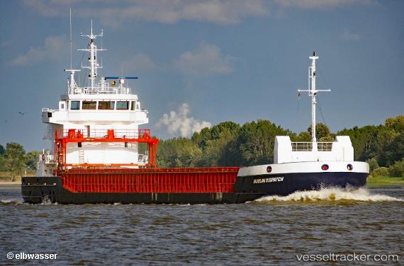
 MIA MARIA
Current Status
Where is the vessel?
MIA MARIA is currently in 13 nm SE of Castletown, based on AIS data received about 1h ago.
Latest AIS update:
Current position: 50.37528° N, 2.29608° W (13 nm SE of Castletown)
Average speed (last 7 days): Loading…
Average speed (last 30 days): Loading…
Vessel profile: MIA MARIA is a General Cargo with dimensions m x m.
This page combines live AIS, route history, probable destination signals, nearby traffic, and port activity for practical vessel monitoring.
The current position of vessel MIA MARIA is 50.37528 lat / -2.29608 lng. Updated: 2026-03-29 21:41:07 UTCNearest reference points:
- Near Castletown
- Near WEYMOUTH
- Near Poole
Details:
Live Vessel MIA MARIA Analytics (details, animations, etc.)
Recent AIS points (UTC):
2026-03-29 15:41:45 UTC · 50.39338, -1.65626 · SOG 5.3 kn · COG 264°2026-03-29 17:23:45 UTC · 50.38714, -1.85685 · SOG 3.6 kn · COG 260°
2026-03-29 19:28:46 UTC · 50.38079, -2.01961 · SOG 2.7 kn · COG 265°
2026-03-29 21:41:07 UTC · 50.37528, -2.29608 · SOG 6.7 kn · COG 265°