 vesseltracker.com
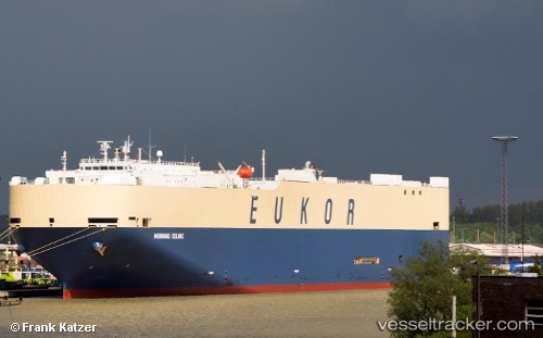
 MORNING CELINE
Current Status
Where is the vessel?
MORNING CELINE is currently in Near PUERTO CALDERA, based on AIS data received about 16h ago.
Latest AIS update:
Current position: 9.82545° N, 84.73928° W (Near PUERTO CALDERA)
Average speed (last 7 days): Loading…
Average speed (last 30 days): Loading…
Vessel profile: MORNING CELINE is a Vehicles Carrier with dimensions m x m.
This page combines live AIS, route history, probable destination signals, nearby traffic, and port activity for practical vessel monitoring.
The current position of vessel MORNING CELINE is 9.82545 lat / -84.73928 lng. Updated: 2026-04-10 07:41:47 UTCNearest reference points:
- Near Golfo de Papagayo
- 67 nm SW of Sámara
- 27 nm W of Playa Conchal
Currently sailing under the flag of South Korea ![]()
Details:
Live Vessel MORNING CELINE Analytics (details, animations, etc.)
Recent AIS points (UTC):
2026-04-10 02:17:45 UTC · 9.82582, -84.73963 · SOG 0.2 kn · COG 22°2026-04-10 04:17:45 UTC · 9.82550, -84.73950 · SOG 0.3 kn · COG 18°
2026-04-10 06:17:47 UTC · 9.82555, -84.73960 · SOG 0.3 kn · COG 40°
2026-04-10 07:41:47 UTC · 9.82545, -84.73928 · SOG 0.2 kn · COG 67°