 vesseltracker.com
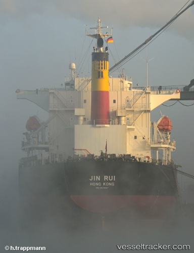
Storm Harbour
Current StatusWhere is the vessel?
Storm Harbour is currently in Near Taranto, based on AIS data received less than 1h ago.
Latest AIS update:
Current position: 40.47468° N, 17.21691° E (Near Taranto)
Average speed (last 7 days): Loading…
Average speed (last 30 days): Loading…
Vessel profile: Storm Harbour is a Bulk Carrier with dimensions 32m x 225m.
This page combines live AIS, route history, probable destination signals, nearby traffic, and port activity for practical vessel monitoring.
The current position of vessel Storm Harbour is 40.47468 lat / 17.21691 lng. Updated: 2026-04-08 16:12:34 UTCNearest reference points:
- Near Marina di Ginosa
- Near Monopoli
- Near Porto Di Brindisi
Details:
Live Vessel Storm Harbour Analytics (details, animations, etc.)
Recent AIS points (UTC):
2026-04-08 10:00:34 UTC · 40.47468, 17.21690 · SOG 0 kn · COG 342°2026-04-08 11:54:34 UTC · 40.47468, 17.21689 · SOG 0 kn · COG 342°
2026-04-08 14:00:34 UTC · 40.47467, 17.21691 · SOG 0 kn · COG 342°
2026-04-08 16:12:34 UTC · 40.47468, 17.21691 · SOG 0 kn · COG 342°