 vesseltracker.com
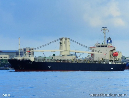
 ALAHAS
Current Status
Where is the vessel?
ALAHAS is currently in 93 nm N of Karkar Is, based on AIS data received about 2h ago.
Latest AIS update:
Current position: 3.09333° S, 145.77834° E (93 nm N of Karkar Is)
Average speed (last 7 days): Loading…
Average speed (last 30 days): Loading…
Vessel profile: ALAHAS is a General Cargo with dimensions m x m.
This page combines live AIS, route history, probable destination signals, nearby traffic, and port activity for practical vessel monitoring.
The current position of vessel ALAHAS is -3.09333 lat / 145.77834 lng. Updated: 2026-03-29 23:45:21 UTCCurrently sailing under the flag of Panama ![]()
Details:
Live Vessel ALAHAS Analytics (details, animations, etc.)
Recent AIS points (UTC):
2026-03-29 18:18:18 UTC · -3.84500, 146.33833 · SOG 10 kn · COG -1°2026-03-29 19:35:31 UTC · -3.66211, 146.20474 · SOG 10.2 kn · COG 317°
2026-03-29 21:42:17 UTC · -3.37167, 145.98666 · SOG 10 kn · COG -1°
2026-03-29 23:45:21 UTC · -3.09333, 145.77834 · SOG 10 kn · COG -1°