 vesseltracker.com
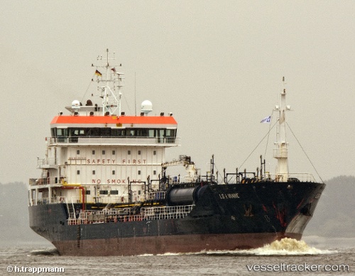
 BLUE CHEM
Current Status
Where is the vessel?
BLUE CHEM is currently in Near ELEFSIS, based on AIS data received about 1d ago.
Latest AIS update:
Current position: 38.02405° N, 23.51318° E (Near ELEFSIS)
Average speed (last 7 days): Loading…
Average speed (last 30 days): Loading…
Vessel profile: BLUE CHEM is a Oil/Chemical Tanker with dimensions m x m.
This page combines live AIS, route history, probable destination signals, nearby traffic, and port activity for practical vessel monitoring.
The current position of vessel BLUE CHEM is 38.02405 lat / 23.51318 lng. Updated: 2026-04-10 07:41:44 UTCNearest reference points:
- Near PERAMA
- Near Keratsínion
- Near Drapetzona
Currently sailing under the flag of Panama ![]()
Details:
Live Vessel BLUE CHEM Analytics (details, animations, etc.)
Recent AIS points (UTC):
2026-04-10 02:14:46 UTC · 38.02289, 23.51382 · SOG 0 kn · COG 19°2026-04-10 04:01:33 UTC · 38.02294, 23.51371 · SOG 0 kn · COG 27°
2026-04-10 05:35:47 UTC · 38.02387, 23.51317 · SOG 0 kn · COG 103°
2026-04-10 07:41:44 UTC · 38.02405, 23.51318 · SOG 0 kn · COG 115°